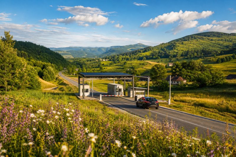
The line, from top to bottom
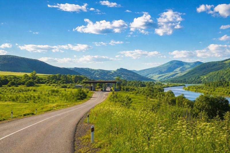
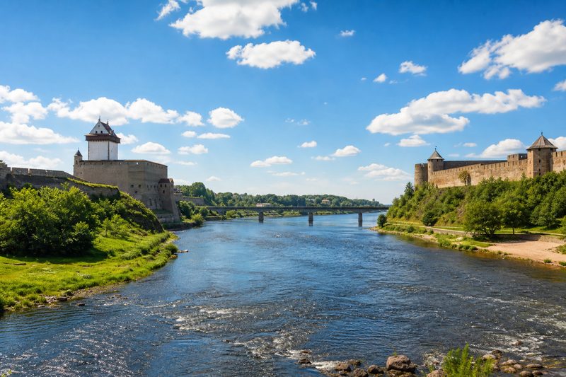
The European Union has no eastern coastline, only a line on land - and it is a remarkable piece of geography. It begins in Lapland, at the fell where Finland, Norway and Russia meet, and runs south through taiga, lake country and bog along the Finnish-Russian border, the longest single section of the whole frontier at roughly 1,300 kilometres. Interrupted by the Gulf of Finland, it resumes at Narva, where two medieval fortresses face each other across a river, and continues down the Baltic states - Estonia and Latvia against Russia, Lithuania against Belarus.
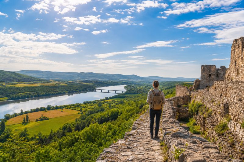
In Poland the line settles onto the slow water of the Bug river, then climbs into the wooded ridges of the Carpathians where Poland, Slovakia and Hungary meet Ukraine. From the Tisza crossing at Zahony it drops onto the plain, follows the Prut river along the whole length of the Romanian-Moldovan border, and dissolves into the reed channels of the Danube delta at the Black Sea. The final act belongs to the south: the old Istanbul road through Svilengrad and Kapitan Andreevo, and the Evros river carrying the Greek-Turkish border down to the Aegean.
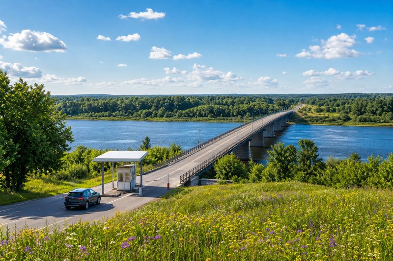
Along this line lie eleven member states, ten neighbouring states, twin towns and transshipment yards, primeval forest and delta marsh - and the limited set of crossing points where the frontier can legally be passed. Everything the EU regulates about goods becomes physical at those crossings, which is why this site keeps one article about the customs machinery behind the line alongside the geography.
Read it in order: the crossing points map the line from the Baltic to the Black Sea. Along the border covers the regions the line shapes - the twin towns, the rail yards, the wild places. Visiting the frontier is the field guide for seeing it yourself, and the customs article explains what actually happens to a truck at the line.